SORE MUSSLES TOUR | W19
Something like an
entrance exam
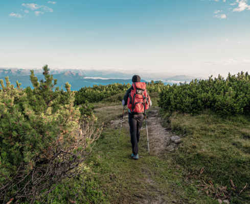
Your start is directly from the hotel. Along the Höllentalbach you march uphill. First, always on a gravel road, then turn right and follow a short path through the forest. Then continue on an asphalt road through the forest, signposted Taurisweg. You come to a parking lot and follow the trail marker 10A, the Taurisweg. The signpost points to the Überetscher Hütte. The path starts quite steeply and is well marked.
Soon you reach a forest road, which you follow briefly to the right, from where the trail branches off again to the left. The Taurisweg continues to climb steeply, now in a constant zigzag. After a while the terrain flattens out unexpectedly and you reach the Taurisjoch. Here the path joins the Göllersteig. From now on you follow the trail number 523. First it goes in a slight up and down, partly secured by ropes, past the Scharfegger hut (not managed) to a waterfall.
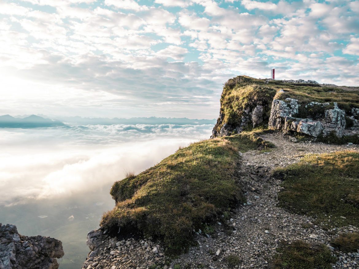
From here the path climbs again and soon the Überetscher hut is in sight. Now it is only a few minutes to the start of the via ferrata, following trail number 523. The via ferrata leads through the uppermost rock step of the Mendel ridge and at the exit you reach a wide plateau that slopes gently to the west. The summit is in sight and is soon reached. From the summit, take trail no. 500 south and reach first the Schwarzer Kopf and then the Wetterkreuz. 400 m further on, the 6er Steig branches off. Now it goes steeply downhill, the path is narrow but well maintained.
Past the Schweiggl and Edeltrauth huts (both private) you reach Kaltbrunn after many hairpin bends. Now it goes alternately always following the number 6 over paths and forest roads until shortly before the Zoggelerwiese. Now follow trail number 4 and then 4A to finally reach our Traminerhof again.
Sweat inducing acent – sore muscles pre-programmed
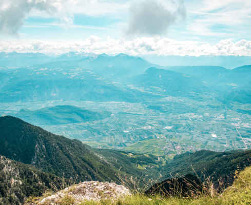
Superb view from our local mountain Roen
Short very easy via ferrata. (Helmet and climbing gear recommended)
Pit Stops: Überetscher hut, Romeno alpine pasture.
GPX-Track -km, -m GPX
| Name: | No data |
| Distance: | No data |
| Minimum elevation: | No data |
| Maximum elevation: | No data |
| Elevation gain: | No data |
| Elevation loss: | No data |
| Duration: | No data |