“Katzenleiter” in Auer | W141
Along the gorge from the Schwarzenbach
An old path leads from Auer along the gorge of the Schwarzenbach to Aldein. When the power plant’s penstock was built, 540 steps were created.
From Auer to Aldein, almost 1000 meters higher, this hiking route with a steep ascent over the “Katzenleiter” is what you want to discover today. Starting from the parking lot near the public swimming pool in Auer, follow trail no. 1 through the Forchwald forest, which leads along the Schwarzenbach stream to the vicinity of the campsite. Here begins the “Katzenleiter”, a steep path largely equipped with steps, which runs along the pressure line of the hydroelectric power plant. In rocky places, the view opens up to the waterfall in the gorge and over the Adige valley near Auer.
After about an hour you will reach the junction with trail 1A. Here, at 650 m above sea level, the actual Katzenleiter ends and trail 1A leads back into the valley. However, you remain faithful to trail no. 1, which continues past meadows and farms, then through the forest, to the mountain village of Aldein. From there you take the bus back to Auer.
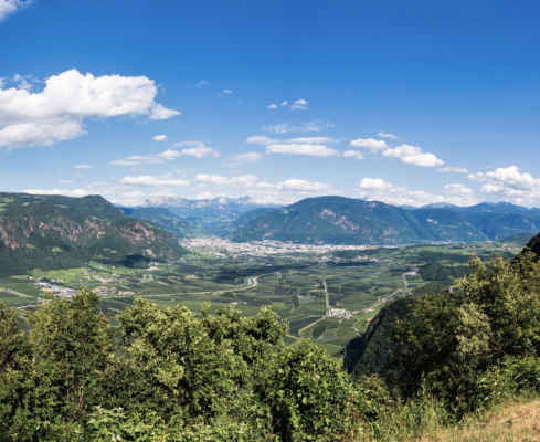
Great view over the rocky edges to the lowlands
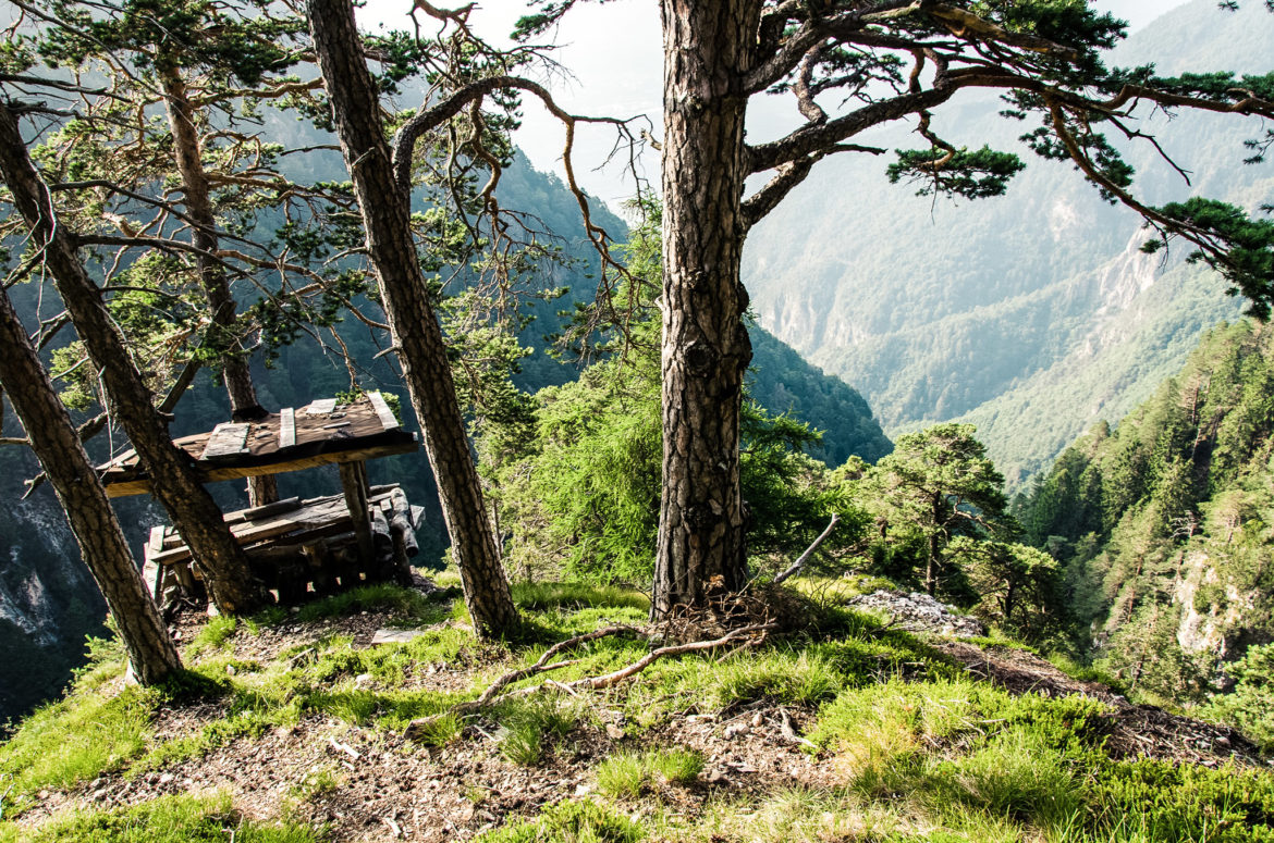
Cat ladder with a seemingly infinite number of steps
Avoid this tour on hot summer days
Starting point: Auer, parking place at the sport zone
Pit stop: There is no refreshment stop along the route, but many opportunities for a nice picnic
GPX-Track -km, -m GPX
| Name: | No data |
| Distance: | No data |
| Minimum elevation: | No data |
| Maximum elevation: | No data |
| Elevation gain: | No data |
| Elevation loss: | No data |
| Duration: | No data |