Eppaner Höhenweg | W124
Pick a day with good visibility
Take the bus to St. Michael-Eppan and get off at the Bahnhofstraße. From there you cross the street and walk straight ahead into the village center. Before you start, have a quick espresso at the village square.
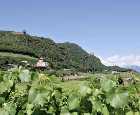
You pass the village church and walk across the sports facilities to the beginning of the Kreuzweg. This takes you to the two-towered Gleif church. A great view into the valley awaits you. You walk towards the road, there turn left towards Castle Moos and across the road slightly uphill to the inn “Steinegger” (refreshment stop). Follow the marker 7 and climb up on a wide forest path in the direction of Matschatsch, finally turn right onto trail no. 9 and then onto trail no. 6. You have reached the “Micheler Kehre” of the Mendel road where the high trail begins (920m). You follow the marking no. 9 on the narrow high trail on a fairly level hike through steep forest slopes northward to the ditch that descends from the Furglauer gorge (crossroads) and further to the meadows of Buchwald (950 m).
From here you go back on footpath 546 down to the lower Buchwaldhof and through the forest slopes down to trail 8 B. You walk on this path in a nice flat hike southwards to the inn “Steinegger” and then back to the village center.
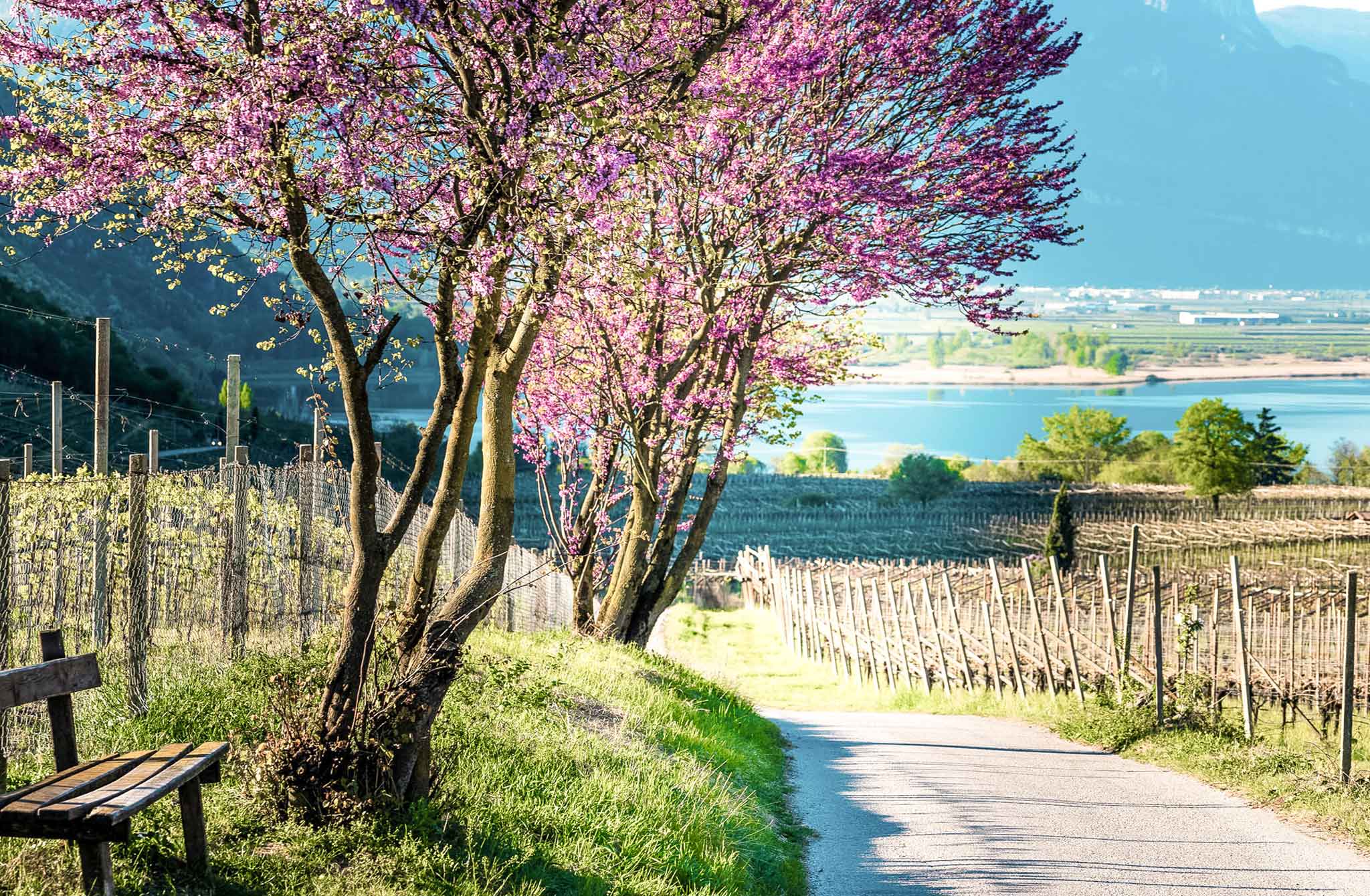
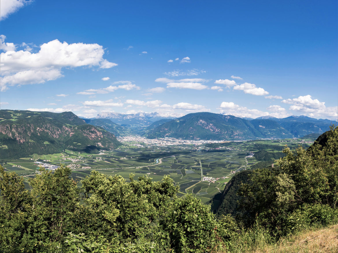
Beautiful views of the Adige Valley and the Dolomites
Runs mostly level through steep mixed forest
Ideal hike for a delicious picnic
Starting point: Tetter parking place in St. Michael/Eppan
pit stops: Restaurant Steinegger, many Restaurants in the center of Eppan
GPX-Track -km, -m GPX
| Name: | No data |
| Distance: | No data |
| Minimum elevation: | No data |
| Maximum elevation: | No data |
| Elevation gain: | No data |
| Elevation loss: | No data |
| Duration: | No data |