Cisloner Alm at Truden | W140
An alpine hut with a great view
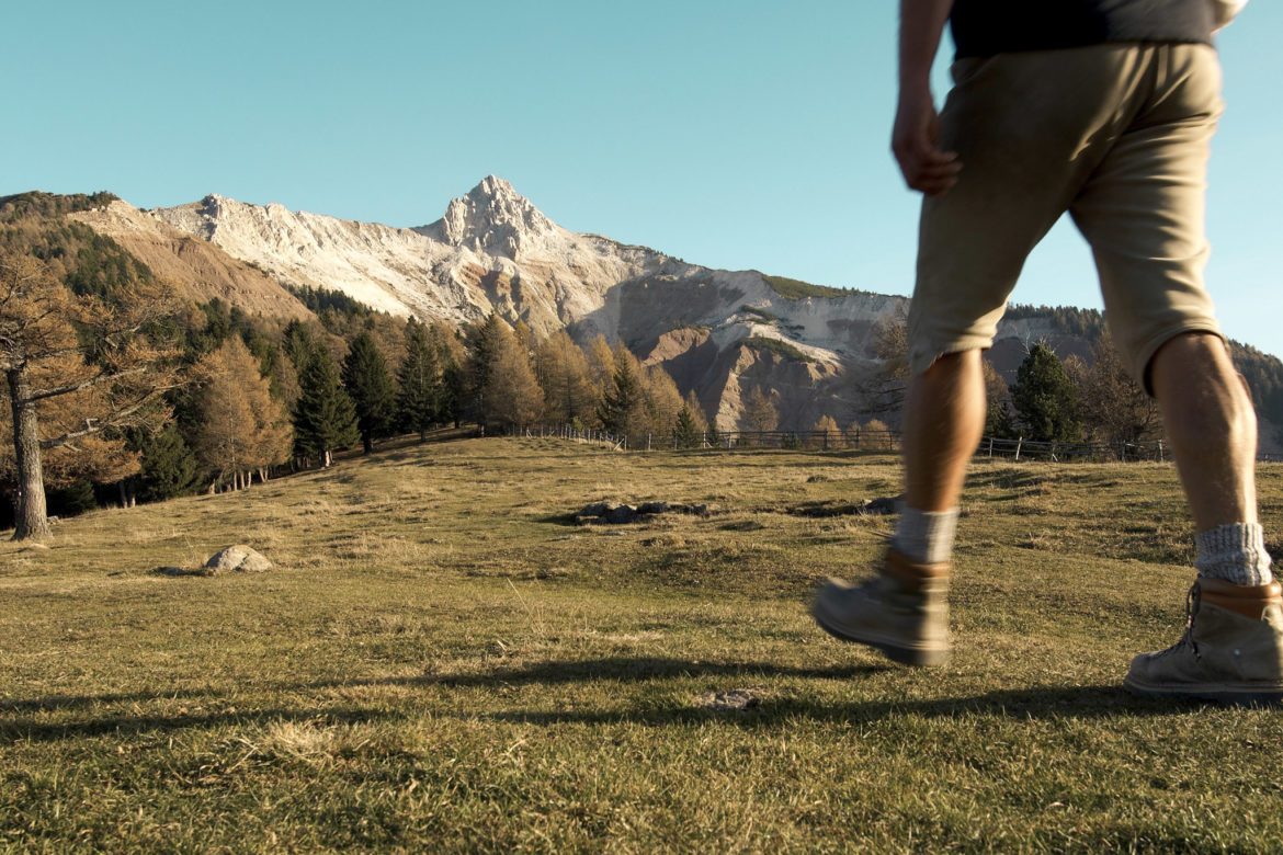
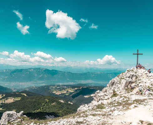
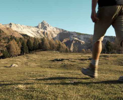
A hike above Truden in the South Tyrolean lowlands. The hike takes place in the Trudner Horn Nature Park. From the car park (1161 m) you choose trail nr. 2, which initially climbs steeply. After a left-hand bend, the path soon becomes more pleasant and leads you through a dense forest, which finally changes into the pine forest typical for this area. It becomes lighter and the view opens up to the surrounding mountains. This includes the peaks of the Lagorai chain.
The forest road makes a wide loop, you slowly descend to near the high face and find yourself amidst alpine roses and mountain pines. Again, the direction of travel is reversed and you walk slightly downhill to the Cislonalm (1249 m). Wonderful views and even more delicious food! The descent is along the forest road marked no. 1, where there are short steep sections. You reach the lower part of the village Truden.
Family hike to the panoramic Cislon Alm
Over forest roads and through dense forest
Be sure to ask for the Kaiserschmarrn on the alpine hut
Starting Point: Truden
Pit stop: Cisloner Alm
GPX-Track -km, -m GPX
| Name: | No data |
| Distance: | No data |
| Minimum elevation: | No data |
| Maximum elevation: | No data |
| Elevation gain: | No data |
| Elevation loss: | No data |
| Duration: | No data |