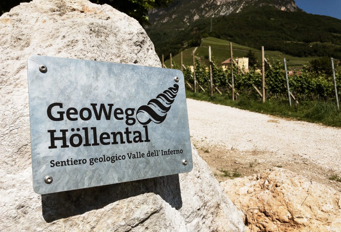
Geo-Trail Tramin | W3
On the tracks of the ice age
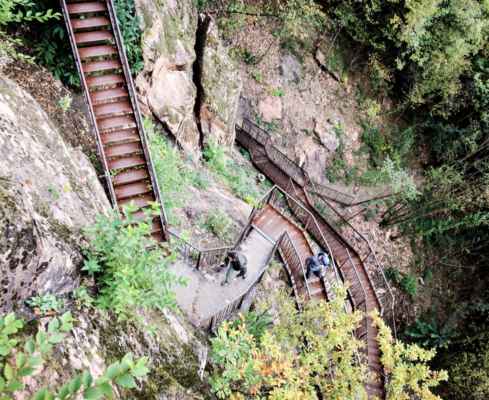
From the hotel you start out of the village and along the stream up to the winery. The GeoWeg starts opposite. Uphill you follow the gravel path along the Höllentalbach. Shortly afterwards you will come across the impressive large boulder of limestone tuff with the wayside shrine of St. Nepomuk. This rock was left here after a violent mudflow and reminds us of the elemental force of nature. The next board illustrates the mudslide of 1986 and gives a reference to the Hoamet Tramin Museum which offers further information about this event. A panoramic view shows the rock layers from Montan to Weisshorn and Schwarzhorn.
Shortly afterwards you meet another beautiful stone, a Voltago conglomerate, which also left a mudflow here. Formed 245 million years ago. A quiet island with 5 columns, bench in semicircular form, filled with described quarry stones of the area invites you to stay. At the dam wall, a board explains the sequence of layers of the mighty outcrop, which stands opposite. The last panel shows various fossils hidden in the layers, but with a little luck, they can also be found in the stream bed.
Information on rocks and geology of the area
A leisurely hike, ideal for a small round of discovery
This hike can easily be extended
For the refreshment: Gummererhof
GPX-Track -km, -m GPX
| Name: | No data |
| Distance: | No data |
| Minimum elevation: | No data |
| Maximum elevation: | No data |
| Elevation gain: | No data |
| Elevation loss: | No data |
| Duration: | No data |