Altreier Höhenweg | W142
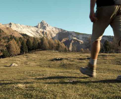
Hiking in the Trudner Horn Nature Park
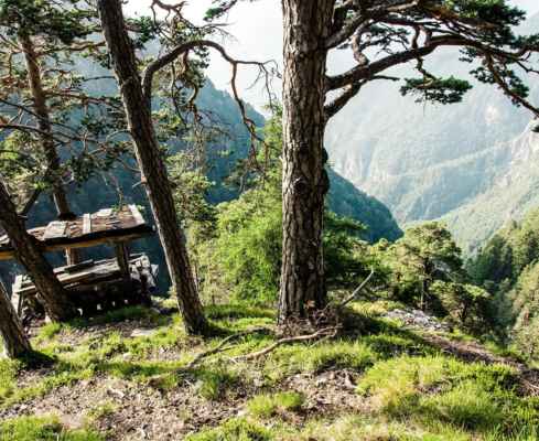
By car you drive to the mountain village Altrei, which lies at 1222m. You can get here via the road from Auer or Neumarkt via Kaltenbrunn. Your ascent begins in the village, where you always follow the mark 5 (also mark 6 at the beginning). First through meadows and then through steep woods and partly in a stream ditch on the nicely paved path northwards up to Langes Moos and to a nearby stone hut (1452 m).
Höhenweg: From Langes Moos or from the stone hut, follow the mark 9 on a wide forest road shortly to the west to a fork in the road (on the right is the nearby Krabesalm with refreshments; 1540 m). Continue on the level path 9 through the forest slopes, above the Pausa-Alm (no refreshments) and crossing the forest slopes over to the Ziss-Sattel (1439 m).
Descent: From the Ziss saddle follow the signpost “Altrei” on the marked forest path no. 3 down to the road that connects Altrei with Capriana. Return eastwards along this road to Altrei.
Via the Höhenweg via Altrei past beautiful forest slopes
Moderately difficult hike, good basical fitness required
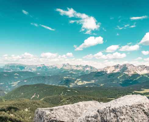
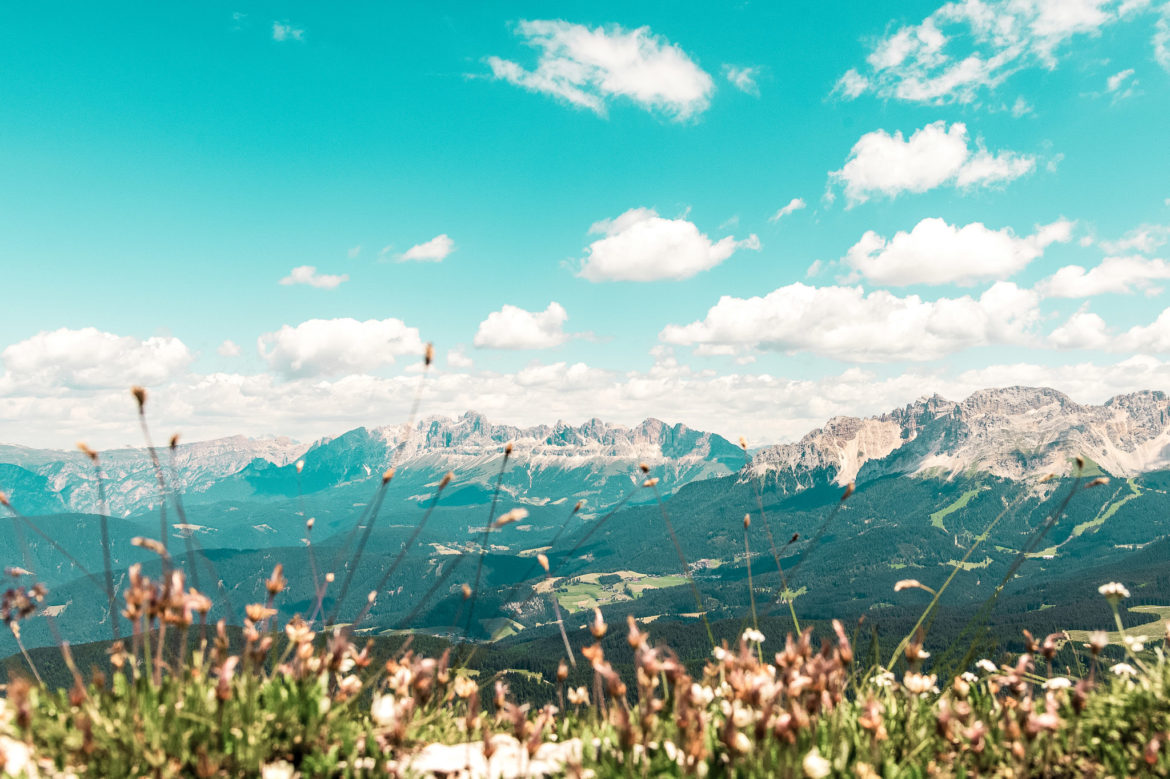
At the viewpoints you can see the Lagorai Mountains
Starting point: Altrei
Pit stops: Krabesalm, Langeshof, Kürbishof
GPX-Track -km, -m GPX
| Name: | No data |
| Distance: | No data |
| Minimum elevation: | No data |
| Maximum elevation: | No data |
| Elevation gain: | No data |
| Elevation loss: | No data |
| Duration: | No data |