Aldeiner Almenround | W135
Culinary delights are not neglected either
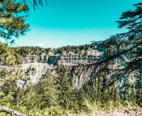
By car you drive from Tramin via Auer to Aldein and to the nearby hamlet of Lerch, from where a small road continues flat to a parking lot at the Geopark Bletterbach below the Laneralm (1550 m). From there you follow the sign “Laneralm” on a wide path through the forest in a short ascent to the alp (1583 m). Afterwards, the trail continues westwards on a flat surface for a short time, then following the marker 3 and the signpost “Weißenstein” on climbing tracks through a grassy forest aisle up to a forest road. Continue on this path for a short while to the forest depression Kösertal (1696 m; intersection of various paths), here turn left following the sign “Schönrast” and cross the forest slopes northwestwards on a wide path to the Schönrast-Schwaige (1699m). From there, follow the S markings on the forest path southwestward to the Schmiederalm (1674 m), soon turn left from the access road and follow the G markings on the footpath and forest path on a level to slightly descending forest crossing back to the Laneralm and the parking lot.
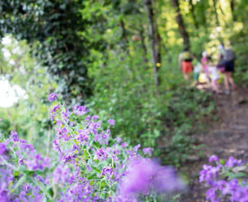
Ideal for a family hike
All kinds of delicious alpine food on the mountain pastures
Few vertical meters, not very demanding
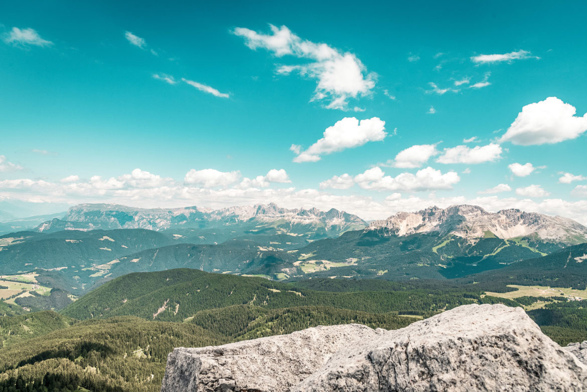
Starting point: parking place Geoparc Bletterbach
Pit stops: Laneralm, Schönrastalm, Schmiederalm
GPX-Track -km, -m GPX
| Name: | No data |
| Distance: | No data |
| Minimum elevation: | No data |
| Maximum elevation: | No data |
| Elevation gain: | No data |
| Elevation loss: | No data |
| Duration: | No data |