To the ice holes | W125
A natural phenomenon and a pleasant way to cool down
Take bus no. 131 from Tramin to Eppan train station. From there you can take the city bus or walk to the center of St. Michael. If you go to Appiano by car, you can park directly in the center at the Raiffeisenhalle or at the Tetter parking lot behind the cemetery for free.
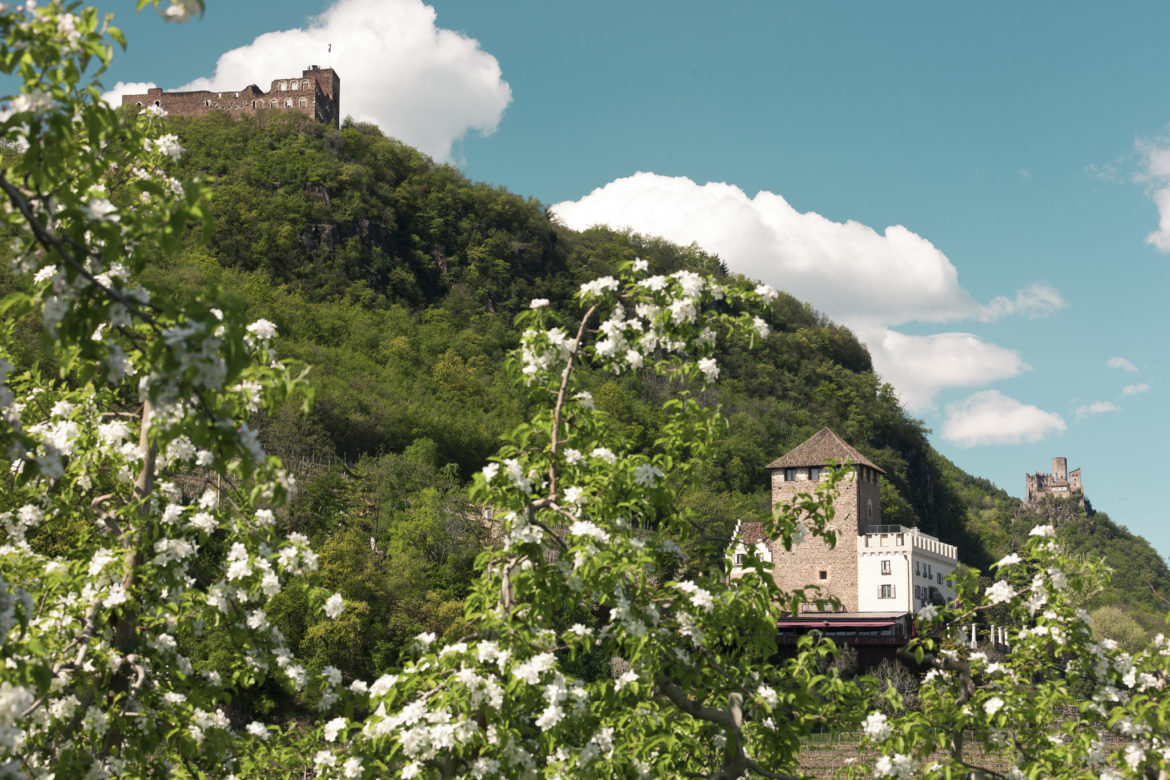
Your hike starts between the ice rink and the Raiffeisenhalle at the sign “Zur Gleifkapelle”. The promenade leads in bends up to the little church, which can be seen from afar. After looking down into the depths and at the glacier behind the church, you walk along the access road to the road, which you reach a few meters before Schloss Moos. A potential visit can pause your tour here. Then walk uphill in the direction of Steinegger. You will reach the aforementioned inn in about an hour from the starting point. Shortly before, a signpost points to the left to the ice holes. Now follow the mark 7A and you will soon reach the highest point of the hike.
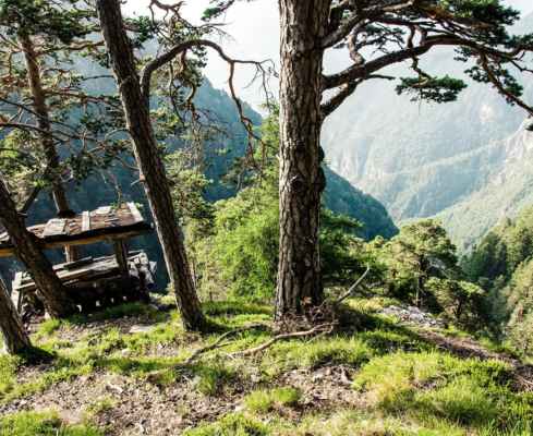
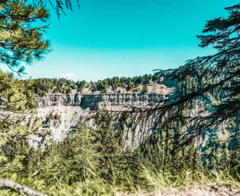
After a footbridge over a stream ditch you have to be careful not to miss the turnoff to the left. Soon you will reach the ice holes. When there is a large temperature difference between the terrain here at about 500 meters above sea level and the Gandberg, a downdraft is created in the rocky gorges, which dries up the moisture and thus creates a cooling effect due to evaporation, so that in June icicles hang down from the gorges. The flora corresponds to that at 1500 to 2000 meters above sea level (biotope). After a round through the noticeably cold bottom of the hollow, you go back a few meters and then follow the mark 15 to the inn Stroblhof. Then descend between the castles of Englar and Gandegg to the picturesque district of Pigenò, keep left at the first forking road and then follow a stream that accompanies a footpath that leads right back to the ice rink, the starting point.
Family hike to the natural phenomenon ice holes
Idyllic Gleifkirchlein in St. Michael/Eppan
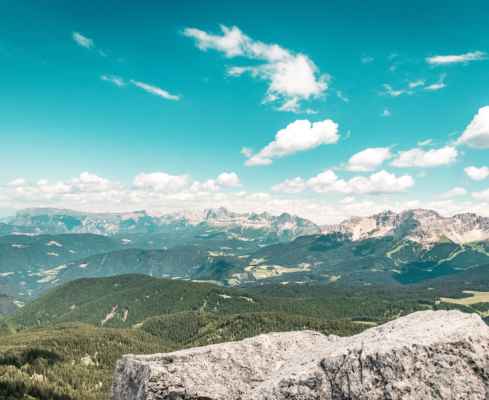
Ideal hike for any weather
Starting point: Tetter parking lot St. Michael/Eppan
Pit stop: Restaurant Steinegger, various restaurants in the center of Eppan.
GPX-Track -km, -m GPX
| Name: | No data |
| Distance: | No data |
| Minimum elevation: | No data |
| Maximum elevation: | No data |
| Elevation gain: | No data |
| Elevation loss: | No data |
| Duration: | No data |