Margreid – Fennberg | W113
Don’t forget your swimsuit
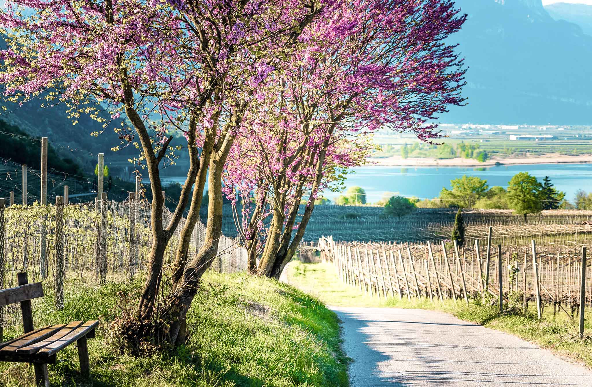
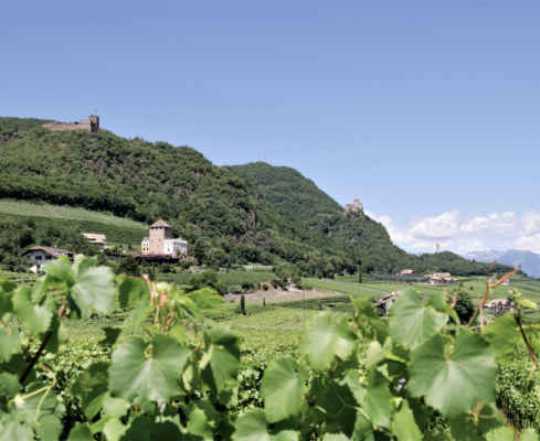
You start in Margreid (226m) and always follow the mark 3 on a tarred path through vineyards to the forest. Here you continue on a wide road through the forest and rocky slopes into the deep ditch of the Fennberger stream. You cross the bridge and continue to follow the markings until you reach the first houses of Unterfennberg. We recommend a visit to the Annakirchlein (church). You can stop for refreshments in the nearby inns. Great panorama at the lake basin with its church (approx. 1050m). From Margreid 2.5-3 h. Recommended descent: via the described ascent path.
Tough tour with about 900 meters of altitude
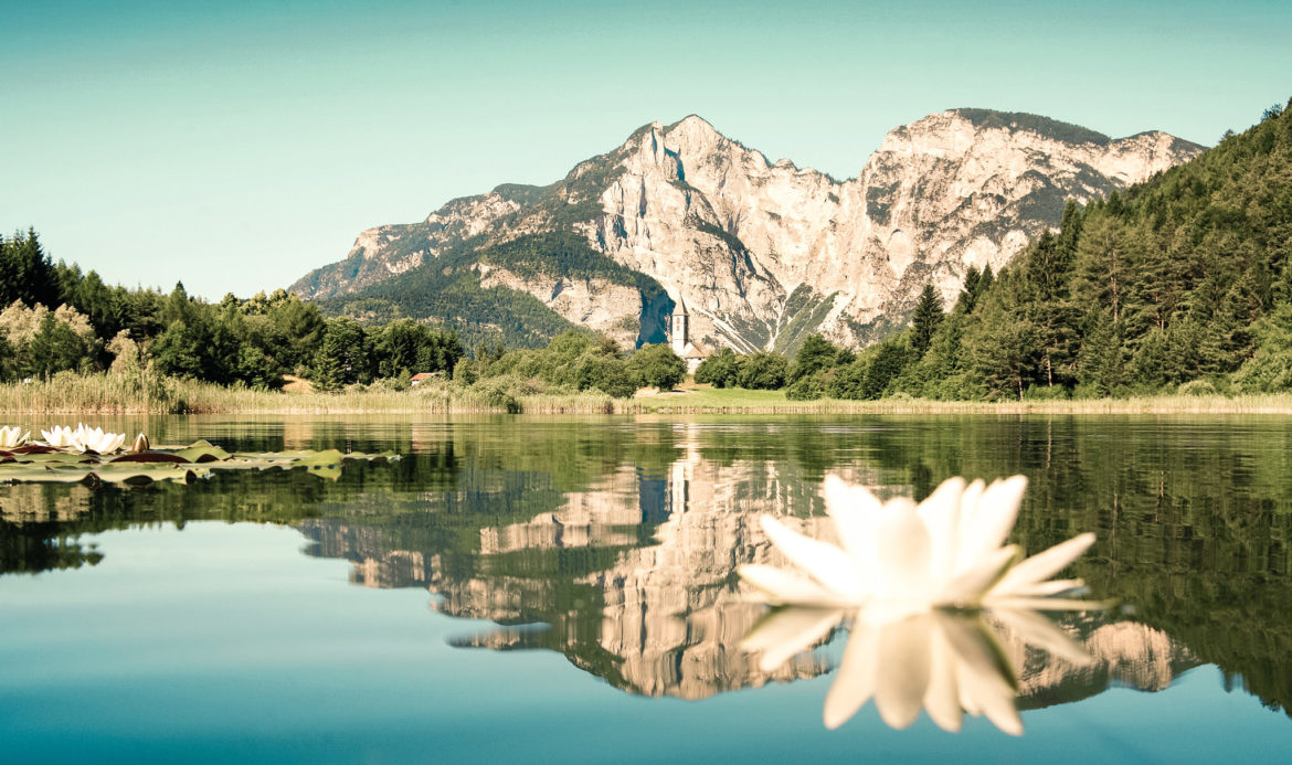
Idyll at the lake Fennberg
A quiet spot even during high season
Starting point: Margreid
Pit stops: Restaurant-Hotel Zur Kirche, Restaurant Plattenhof
GPX-Track -km, -m GPX
| Name: | No data |
| Distance: | No data |
| Minimum elevation: | No data |
| Maximum elevation: | No data |
| Elevation gain: | No data |
| Elevation loss: | No data |
| Duration: | No data |