Kalterer Höhenweg | W119
Comfortable hike along the high trail
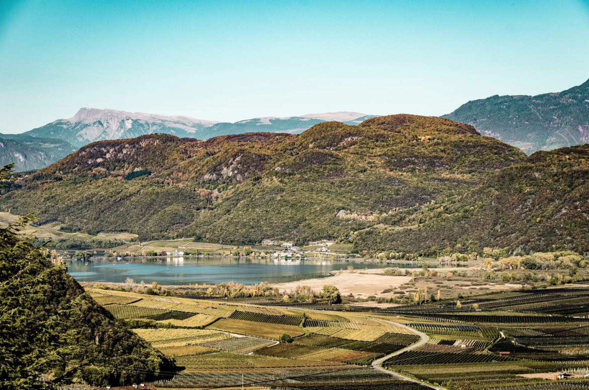
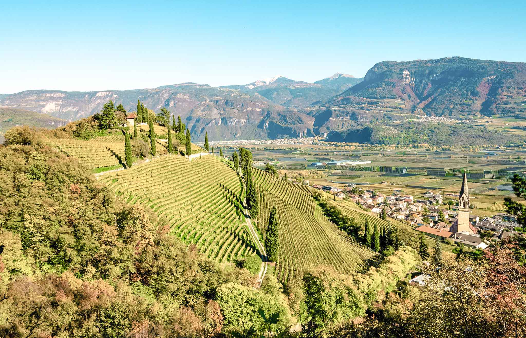
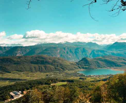
You start from the village of St. Nikolaus just above Kaltern (569 m, parking spaces). You follow the marking 18 until you reach the inn “Kalterer Höhe”. Continue uphill to the Kalterer Höhenweg (699m), it takes about 30 minutes to get here. From here begins the Kalterer Höhenweg which you always follow to the marking 9 to the forester’s hut Ziegelstadel (732 m) above Altenburg. From the beginning of the trail about 2½ hours. Again and again fantastic views over the Überetsch Unterland (are South of Bozen) await you. Now descend along the wide forest path 523 to the Kalterer sports facilities, from there on to St. Anton and, finally on narrow village roads, over the hamlet of Pfuß to St. Nikolaus.
High altitude trail with many beautiful viewpoints of the Überetsch region
Pleasant forest hike
The forest provides peace and comfortable shade
Starting point: bus stop St. Josef
Pit stop: Restaurant Kalterer Höhe
GPX-Track -km, -m GPX
| Name: | No data |
| Distance: | No data |
| Minimum elevation: | No data |
| Maximum elevation: | No data |
| Elevation gain: | No data |
| Elevation loss: | No data |
| Duration: | No data |