Göller Tour | W13
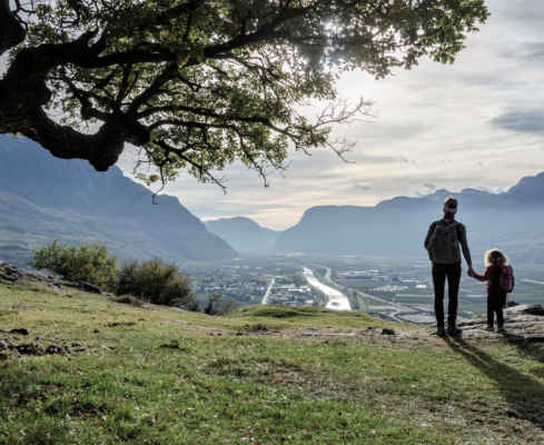
The view makes you overcome everything…
From the Traminerhof you walk along the Höllental stream over the Geoweg and through the forest steeply uphill to the mountain inn Gummererhof. If you want to shorten the hike, you can also drive to the Gummererhof by car. You hike along a forest path until you reach the intersection with the Höhenweg. Turn left at the Brandschutzweiher and take trail no. 10 uphill, past the “White Giants” to the Göller. It is a sweaty ascent, but you will also manage the last part, which is secured with a wire rope. Again and again you get a great view of Tramin and the South Tyrolean “Unterland” (area South of Bozen).
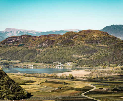
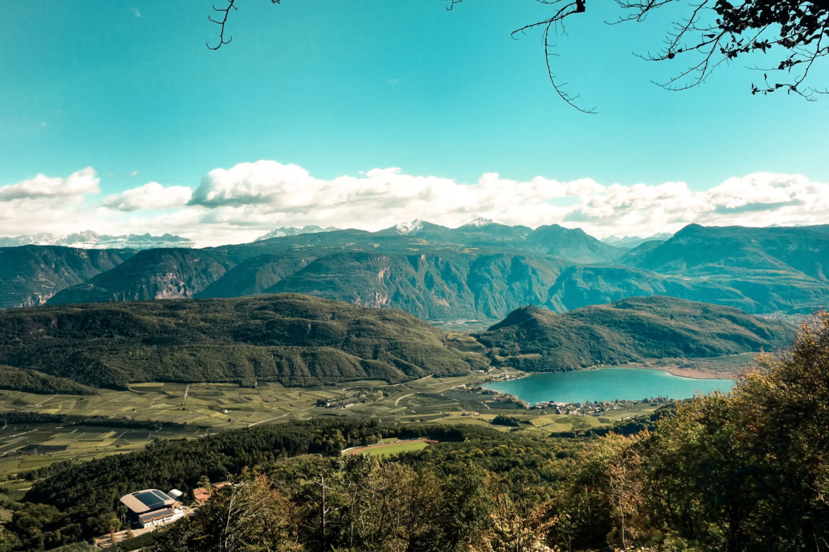
Continue your hike around the Göller to the Göller meadow, a tree-free area with a fountain, a table and chairs made of wooden stumps and a small rain shelter. Here you stop briefly to then direct your gaze towards the viewpoint (only 30m away). Below you Lake Kaltern, above you the MItterberg with the ruins of Leuchtenburg Castle. The view reaches from Eppan to Tramin.
On particularly clear days you can even see the Rittner Horn to the north and the Weißhorn and Schwarzhorn on the opposite side above Aldein. Via trail no. 523 you go downhill and along the Kalterer Höhenweg in the direction of the Gummererhof. From there you descend via trail no. 10 to Tramin.
Demanding tour, because it goes constantly steeply up or down
Superb views of the valley
Very varied landscape and forests
Pit stop: Gummererhof
GPX-Track -km, -m GPX
| Name: | No data |
| Distance: | No data |
| Minimum elevation: | No data |
| Maximum elevation: | No data |
| Elevation gain: | No data |
| Elevation loss: | No data |
| Duration: | No data |