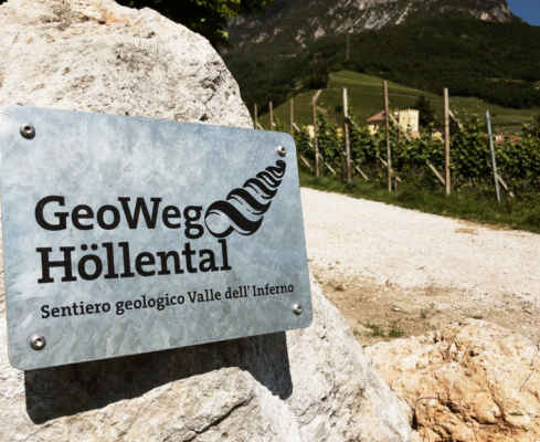
Auer – Castelfeder | W131
A legendary
cultural site
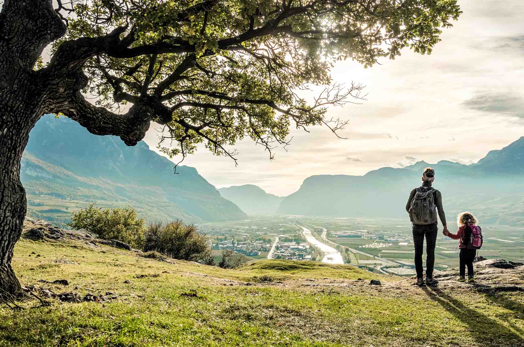
Short hike to the “Arcadia of Tyrol”. The legendary cult site between Auer and Neumarkt, is an extensive porphyry hill characterized by grassy soils, picturesque ponds, glacier-cut rock sections and gnarled oaks.
The tour starts at the small parking lot next to the Schwarzenbach sports zone at the southern end of Auer. You follow the marker 5 on the footpath on the northern slope of the hill through bushes and tree stands moderately steeply up to the first flattening, shortly further to the masonry remains in the northern part of the Kuppenhöhe (approx. 400 m) and then across the narrow plateau to its southern part, where there are more wall remains and stone monuments.
On the descent path starting near the chapel (signpost, short iron railing) on the eastern slope of the hill down to the small Lake Wurm, right on the “Roman road” down to crossing little road (here a few shell stones), on this left to the saddle that connects the hill with the hinterland, northward on an old path route down to the Fleimstaler road and back to the starting point.
Short walk without much effort
View of the South Tyrolean lowlands
A nice picnic on the hill is ideal
Starting point: Parking place sport zone Schwarzenbach in Auer
GPX-Track -km, -m GPX
| Name: | No data |
| Distance: | No data |
| Minimum elevation: | No data |
| Maximum elevation: | No data |
| Elevation gain: | No data |
| Elevation loss: | No data |
| Duration: | No data |