Tramin-Söll-Platzereien | 7
Uphill to Söll and over the Platzereien
13.9 km
380 m
1 h 27 min
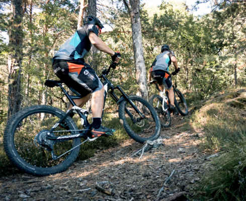
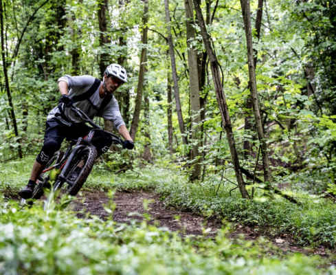
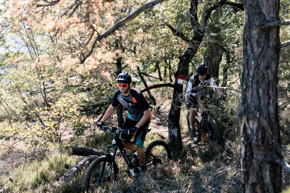
This tour is a short route with a tough uphill section to Söll. After arriving out of breath at the fire station in Söll, continue to the right along the Platzereien forest path. After uphill and downhill passages, the forest path ends in the Nussental hiking trail. Follow this downhill route to St. Josef am See. The descent is mostly on a wide but very steep path. Above Lake Kaltern you follow the lakeside hiking trail and then the field paths back to the hotel.
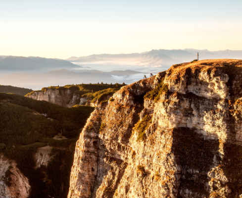
View over the valley basin and Lake Kaltern
Ideal as a half-day tour
Short tour, steep descent with some scree
Tips for refreshments: Plattenhof in Söll, “Kiosk” or Gretl on Lake Kaltern
Condition
Technology
Panorama
GPX-Track -km, -m GPX
| Name: | No data |
| Distance: | No data |
| Minimum elevation: | No data |
| Maximum elevation: | No data |
| Elevation gain: | No data |
| Elevation loss: | No data |
| Duration: | No data |