Kaltenbrunn-Radein | W144
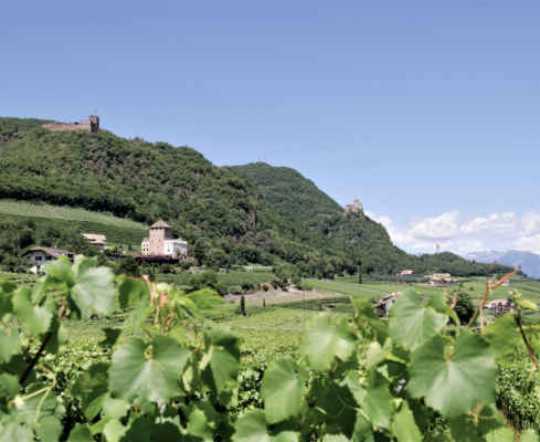
Radein, a sleepy mountain village
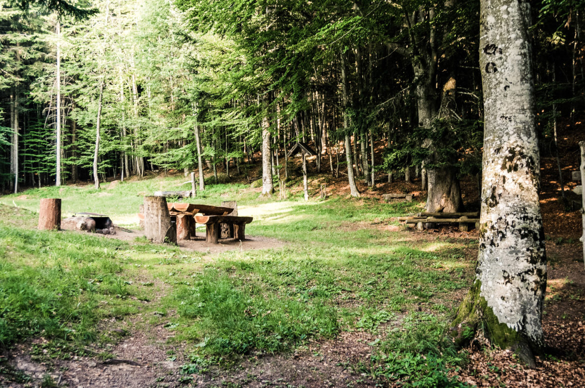
From Kaltenbrunn (991 m) follow the marker 7 partly on the old Radeiner Weg, partly on roads northeast up to the group of houses Unterradein. Now always following the marking 9 first to the stately Trogerhof with chapel, then through fir and spruce forests on the old paved path, which is crossed only once by the Radeinerstr., northward mid-steeply up to the Wastlhof, shortly further to the Zirmerhof and southeastward to the church of Oberradein (1562 m).
From the church on the road over to the farm group town, where the descent begins: Partly on the old road, partly off on the old trail route (today also a road) following the mark 7 first through meadow terrain and then in a forest valley down to the house groups Grube and Burg, further out of the valley to Unterradein and as in the ascent back to the starting point.
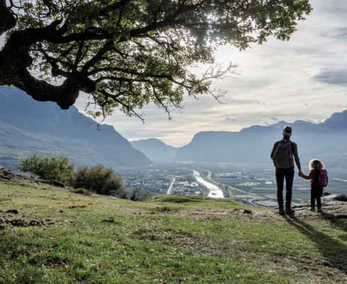
Hike at higher altitudes to the highest settlement of the Unterland (area South of Bozen)
View of wide meadows and the mountain landscape
Starting point: Kaltenbrunn
Pit stop: Zirmerhof
GPX-Track -km, -m GPX
| Name: | No data |
| Distance: | No data |
| Minimum elevation: | No data |
| Maximum elevation: | No data |
| Elevation gain: | No data |
| Elevation loss: | No data |
| Duration: | No data |