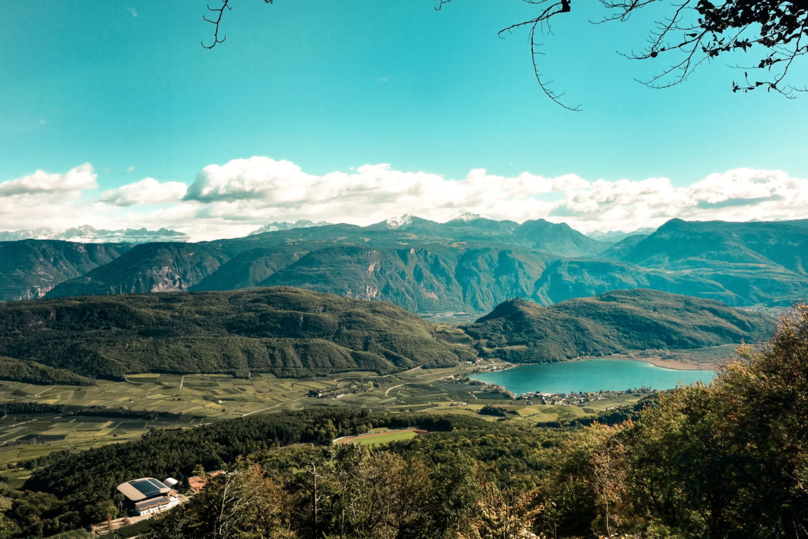
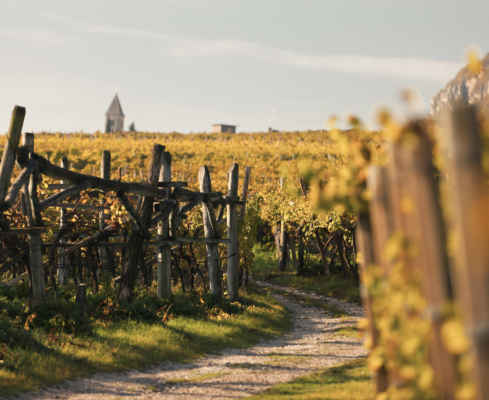
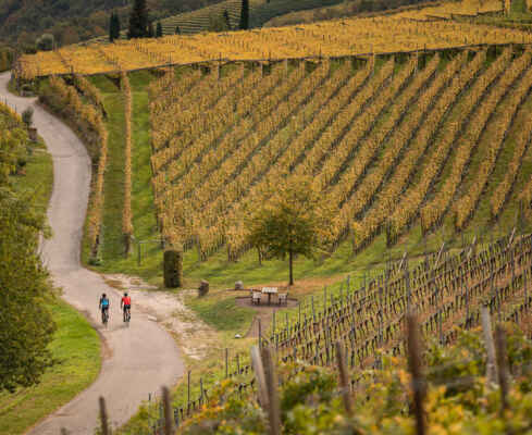
Kalterer Höhenweg | 401
Up and down the mountain path

30.5 km
870 m
3 h 0 min
GPX-Track -km, -m GPX
| Name: | No data |
| Distance: | No data |
| Minimum elevation: | No data |
| Maximum elevation: | No data |
| Elevation gain: | No data |
| Elevation loss: | No data |
| Duration: | No data |


